
In a country where earthquakes, volcanic activity, and extreme weather are part of everyday reality, the ability to anticipate risk is as critical as responding to disaster. This idea took center stage in Pasay City as SM Investments Corporation and the Department of Science and Technology–Philippine Institute of Volcanology and Seismology marked a pioneering collaboration that brings science-driven risk intelligence directly into the private sector.
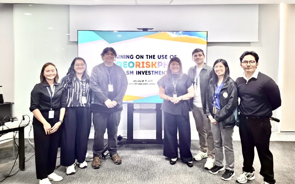
The milestone came with SM becoming the first conglomerate to complete formal training on GeoRiskPH, a national suite of digital tools designed to identify location-specific hazards and strengthen resilience against natural disasters and climate-related risks. Over two intensive days, nearly 60 executives and representatives from across the SM Group immersed themselves in hands-on workshops, learning how to translate complex scientific data into practical insights for business continuity, employee safety, and community protection.
Rather than abstract risk models, GeoRiskPH offers something immediately actionable. The platform allows users to pinpoint areas vulnerable to earthquakes, volcanic hazards, flooding, and other hydro-meteorological threats, presenting clear data on land exposure, population density, and infrastructure at risk. For a group with operations spanning malls, banks, logistics, retail, energy, and property development nationwide, this capability reshapes how decisions are made—from site selection to disaster preparedness.
According to SM Group Sustainability Office Head Koleen D. Palaganas, the partnership reflects a deliberate shift toward science-based planning. By integrating GeoRiskPH into its operations, the Group not only enhances internal risk management but also strengthens its ability to support faster, more informed disaster response in the communities it serves.
At the heart of GeoRiskPH is a growing ecosystem of tools. HazardHunterPH enables multi-hazard assessments for individuals and institutions; GeoMapperPH supports nationwide data collection for exposure mapping; GeoAnalyticsPH transforms raw data into decision-ready visual analyses; while PlanSmart streamlines rehabilitation, recovery, and land-use planning. Together, they form a digital backbone for risk-informed development.
PHIVOLCS Director Dr. Teresito C. Bacolcol described the partnership as a proactive step that builds trust and shared responsibility between government and industry. For financial institutions like China Banking Corporation, the tools also enable forward-looking risk evaluation—moving from reactive responses to strategic prevention.
More than a training milestone, the collaboration signals a broader model for public-private partnership. As climate and disaster risks intensify, the SM Group’s engagement with GeoRiskPH demonstrates how technology, science, and enterprise can align to protect lives, livelihoods, and long-term development—turning data into resilience, and planning into preparedness.


Loading…